COVENTRY UK
COVENTRY
HomeSlopes & WallsSlope Stability Analysis

Slope Stability Analysis in Coventry

Evidence-based design. Reliable delivery.

LEARN MORE

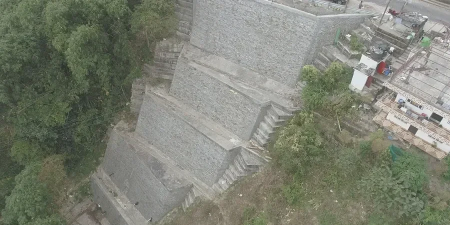
Much of central Coventry is underlain by the Mercia Mudstone Group, a sequence of red-brown mudstones and siltstones with variable weathering profiles. In the eastern suburbs, superficial deposits of till and river terrace gravels add further complexity. For any cut slope or embankment over 3 metres, we combine limit equilibrium software with field surveys to define the critical failure surface. This approach ensures factors of safety meet Eurocode 7 requirements. Before modelling, we always confirm the water table depth — in Coventry the seasonal fluctuation can reach 2 metres within the superficial layer. A deeper check using ensayo CPT gives us continuous strength profiles through the variable till.

Illustrative image of Slope stability analysis in Coventry
Seasonal water table fluctuation in Coventry can reach 2 metres, reducing slope stability margins significantly during wet months.

Our service areas

Process overview

Our team has observed that many older highway embankments along the A46 and A444 were built with minimal drainage and no stability verification. We work through three stages: 1) desk study reviewing British Geological Survey maps and historic boreholes, 2) site investigation with trial pits and veleta-campo vane shear tests in the cohesive till, 3) numerical modelling using Morgenstern-Price and Spencer methods. The results are compared against Eurocode 7 partial factors. We also run sensitivity analyses for rainfall infiltration — Coventry receives around 640 mm/year, so pore pressure changes can reduce the factor of safety by up to 15% in winter months.
Technical reference — Coventry

Local context

A slope failure on a residential development near Binley Woods in 2019 highlighted the consequences of ignoring residual strength in the weathered mudstone. We use a combination of rotary core drilling and undisturbed sampling to retrieve block samples for direct shear testing. The risk is not just economic — delayed re-profiling can affect adjacent structures and utilities. In Coventry, where many slopes are less than 8 metres high, the most common failure mode is a shallow planar slip along the weathered-mudstone interface. Our analysis includes both drained and undrained conditions, and we always recommend monitoring during the first wet season after construction.

Need a geotechnical assessment?

Reply within 24h.

Email: contact@geotechnical-engineering.biz

Reference standards


Eurocode 7 (EN 1997-1:2004) – Geotechnical design, BS 5930:2015 – Code of practice for ground investigations, FHWA-NHI-14-007 – Slope stability reference manual, BS 8006-1:2010 – Code of practice for strengthened/reinforced soils

Technical parameters

ParameterTypical value
Analysis methodMorgenstern-Price / Spencer (limit equilibrium)
Minimum acceptable FoS1.30 (Eurocode 7 – persistent)
Soil strength modelMohr-Coulomb (c', phi')
Groundwater treatmentSteady-state / transient seepage (SEEP/W)
Software platformSlide2 / SLOPE/W + SLID (Rocscience)
Field verificationInclinometer casings + standpipe piezometers

Top questions


What is the typical cost of a slope stability analysis in Coventry?

For a standard embankment up to 8 metres high with one borehole and two trial pits, the cost ranges from £1.030 to £2.910. This includes desk study, field investigation, laboratory testing, numerical modelling, and a geotechnical interpretive report. Complex geology or multiple failure surfaces may increase the upper end.

How long does a slope stability study take from start to finish?

A straightforward analysis on a single slope typically takes 4 to 6 weeks. Desk study and site setup take one week, field investigation two weeks, laboratory testing one week, and modelling and reporting one to two weeks. Larger or phased studies can extend to 10 weeks.

What minimum factor of safety do you use for permanent slopes?

We apply Eurocode 7 partial factors. For persistent design situations, the minimum factor of safety is 1.30. For transient or accidental loads (e.g. 1-in-100-year rainfall), we accept 1.15. All values are checked against the Design Approach 1 Combination 2.

Do you need to excavate trial pits on site, or can you use existing data?

Existing borehole logs from the British Geological Survey can support a preliminary desk study, but for design we require site-specific data. In Coventry, the Mercia Mudstone weathering profile changes rapidly over short distances. We typically specify two trial pits per slope face plus one borehole for deep samples.

Can you model the effect of trees or vegetation on slope stability?

Yes. Vegetation can increase stability through root reinforcement or decrease it through water uptake and desiccation cracking. We apply root cohesion values from published databases (e.g. Bischetti et al. 2005) and modify the soil strength profile accordingly. For Coventry, deciduous woodland on clay slopes often shows a 5–10% improvement in FoS during summer.

Visual overview

Location and service area

We serve projects across Coventry.

Location and service area