COVENTRY UK
COVENTRY
HomeRoadwayDrenaje vial geotécnico

Geotechnical Road Drainage in Coventry – Design & Assessment

Evidence-based design. Reliable delivery.

LEARN MORE

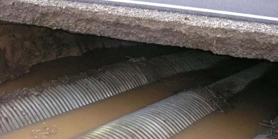
A new distributor road on the eastern edge of Coventry cut through a shallow clay layer over Keuper Marl. Within weeks, the formation turned to slurry. Standing water softened the subgrade, and the temporary haul road became impassable. That job taught us a simple lesson: in Coventry, surface water management is not enough. You need a geotechnical road drainage strategy that deals with groundwater seepage from the underlying Mercia Mudstone Group. We design filter drains, fin drains, and blanket drainage layers that keep the formation dry during construction and throughout the pavement life. Before we specify any drainage system, we always run a groundwater infiltration test on site to measure the actual permeability of the local soils.

Illustrative image of Geotechnical road drainage in Coventry
In Coventry's clay tills, a geotextile-wrapped fin drain outperforms a granular trench drain by a factor of three in long-term flow capacity.

Our service areas

This service complements our laboratory testing work for a complete project analysis.

Process overview

The soils in Coventry vary more than most people expect. In the west, around Allesley and the River Sherbourne valley, you find fluvial sands and gravels with high permeability — drainage is straightforward. But on the eastern side, near the Sowe valley and the industrial estates off the A46, the ground is dominated by till and laminated clays. Those clays drain slowly and need geotextile-wrapped fin drains to prevent clogging. A one-size-fits-all approach fails here. Our designs match the drainage system to the specific soil type and water table depth. We also consider the long-term performance of the filter layer, because silt migration can block a poorly graded drain within one winter. A vane shear test on the clay subgrade tells us the undrained shear strength, which directly influences how quickly we can compact the capping layer above the drain.
Technical reference — Coventry

Local context

Coventry expanded rapidly after the Second World War. Large housing estates and industrial zones were built on greenfield sites with minimal geotechnical investigation. Many of those sites sit on glacial till with a high water table. The consequence shows up every winter: road pavements heave, edge cracks appear, and the carriageway edge fails where the sub-base has been saturated for months. The real problem is not the rainfall — it is the lack of a designed drainage path for the groundwater that flows laterally through the till. A properly designed geotechnical road drainage system intercepts that water before it reaches the pavement layers. We install cut-off drains at the top of cuttings and collector drains behind retaining walls to keep the formation dry.

Need a geotechnical assessment?

Reply within 24h.

Email: contact@geotechnical-engineering.biz

Visual overview


Reference standards

BS 6031:2009 – Code of practice for earthworks, HA 40/01 – Determination of pipe and filter drain dimensions, Eurocode 7 (EN 1997-1:2004) – Geotechnical design

Technical parameters


ParameterTypical value
Soil types encounteredGlacial till, laminated clay, fluvial sands & gravels, Mercia Mudstone
Typical permeability range (m/s)1×10⁻⁹ (clay) to 1×10⁻⁴ (sand/gravel)
Filter drain design standardBS 6031:2009 + HA 40/01
Groundwater level (m bgl)0.5 – 4.0 depending on season and location
Pipe diameter range (mm)100 – 300 perforated uPVC or HDPE
Maximum trench depth (m)3.0 (shored if >1.5)

Top questions

What does a geotechnical road drainage study in Coventry cost?

The typical range for a geotechnical road drainage assessment in Coventry is between £730 and £1,950. The final cost depends on the length of road, the number of trial pits, and the complexity of the groundwater regime.

How deep should a road drain be in Coventry clay soils?

In Coventry's glacial tills, the drain invert should sit at least 300 mm below the formation level. Deeper drains are needed where the water table is high — up to 2.0 m below the road surface in some valley areas.

Do I need a drainage design for a small access road?

Yes. Even a short access road on Coventry clay can fail within two winters if the sub-base stays wet. A simple fin drain along the low side of the road is often enough to keep the formation dry and avoid costly repairs.

What is the difference between a fin drain and a trench drain?

A fin drain is a narrow vertical strip wrapped in geotextile — it takes less space and works well in clay. A trench drain is wider and filled with granular material, better for sandy soils with high flow. We choose based on the soil permeability measured on site.

Location and service area

We serve projects across Coventry.

Location and service area